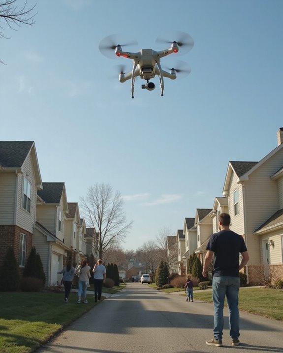
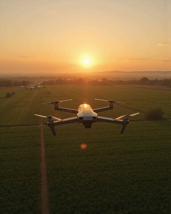
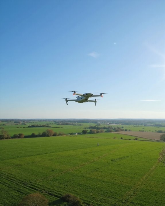
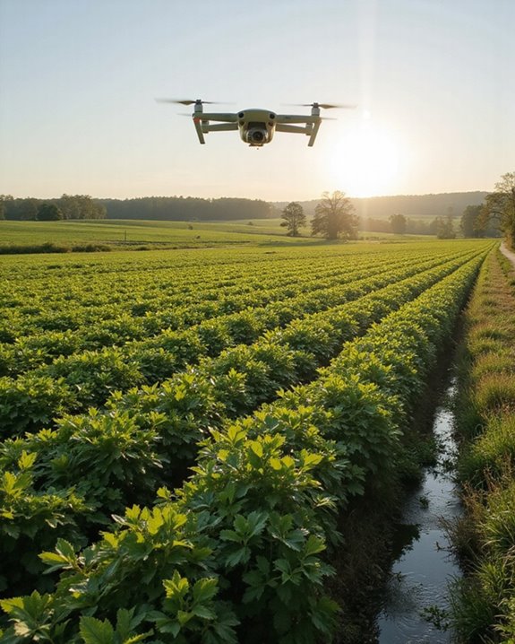
Drones in agriculture are like high-tech farm helpers, buzzing overhead to snap sharp images, map fields, and spray fertilizers with eagle-eye precision! Farmers use these smart tools to spot sick crops, track herds, and even save water with clever soil sensors. Top models like the DJI Air 3 can fly for 46 minutes, zooming over crops to catch problems early. Curious how these flying robots make farms greener, cheaper, and more productive? Stick around to uncover the details!
Key Takeaways
- Drones monitor crop health using multispectral and thermal imaging for early detection of disease, nutrient stress, and water shortages.
- They enable precise application of pesticides and fertilizers, reducing chemical usage by up to 60% and minimizing environmental impact.
- Drones perform rapid crop mapping and yield estimation, helping farmers optimize planting, irrigation, and resource allocation.
- Automated drone spraying covers large areas efficiently, lowering labor and fuel costs while boosting overall farm productivity.
- Livestock monitoring with drones improves herd management, animal welfare, and enables accurate counting in large pastures.
Market Growth and Global Adoption of Agricultural Drones
The world of farming is getting a high-tech makeover, and drones are leading the charge! Across the globe, the agriculture drone market is soaring, with projected growth from USD 6.10 billion in 2024 to a whopping USD 23.78 billion in coming years. Farmers aren’t the only ones excited—investor trends show big money flowing into drone startups, betting on smarter fields. Expansion strategies are everywhere, with companies racing to introduce drones in new regions, especially where climate change and water scarcity make old methods tough. Even the United States, a farming powerhouse, expects a 23.5% market growth rate! From precision crop mapping in California to pest detection in India, drones are buzzing with possibility. Farming has never looked so futuristic—or so cool! Many of these advances are driven by drones like the DJI Air 3, which offers 46-minute flight time combined with high-resolution imaging to revolutionize crop monitoring.
Economic Benefits and Cost Savings Achieved With Drones
Farmers aren’t just chasing futuristic gadgets—they’re after real results, and drones are delivering! When it comes to Financial Returns, drones help boost yields by up to 10% through smarter irrigation and fertilizer use. That’s not just a small bump; it’s more money in the bank. Savings Analysis shows that drones slash resource costs, from fuel to fertilizers, by targeting only the areas that need attention. Imagine saving 222 million tons of water and reducing chemical use by 47,000 metric tons—those are serious numbers! With automated crop monitoring and spraying, labor costs shrink, and the need for heavy equipment drops. Even better, these techy birds pay for themselves over time, making them a cost-effective investment for farms big and small. Large-scale agricultural drones equipped with 30-liter tanks enable precise spraying that covers 7 hectares per hour, significantly enhancing efficiency.
Innovations in Drone Imaging and Sensing Technologies
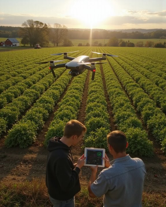
Step into the future of farming, where drones are equipped with gadgets that would make even a spy jealous! Today’s agricultural drones carry multispectral cameras, thermal sensors, and high-resolution imagers, all working together through a process called Spectral Fusion. Imagine a drone soaring overhead, gathering data in vivid color, invisible infrared, and mapping out crop health with NDVI. LiDAR sensors create detailed 3D maps for perfect irrigation planning, while AI Processing takes all this data, sorts it, and instantly tells farmers where their crops might be stressed or lacking nutrients. Satellite integration expands coverage, giving a bird’s-eye view of vast fields. Autonomous navigation and real-time feedback mean these drones almost think for themselves—no cape required! Farming has truly gone high-tech, and it’s just getting started. Many of these advanced agricultural drones also feature RTK technology to ensure centimeter-level positioning accuracy for precise field mapping and autonomous navigation.
Enhanced Crop Management With Aerial Data
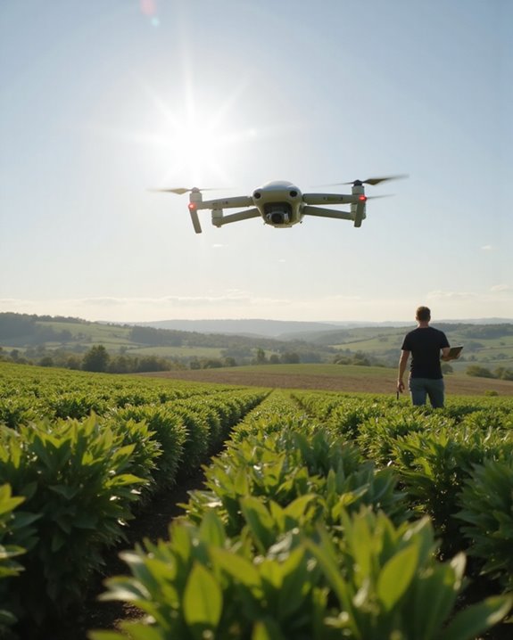
Imagine a bird’s-eye view that’s not just for sightseeing—today’s drones are turning fields into high-tech dashboards, packed with real-time data farmers can actually use! With powerful cameras and sensors, drones help with Stress Identification, spotting problems like disease or nutrient shortages before they become big headaches. Growth Monitoring is a breeze, as frequent flyovers capture crop development through every season stage. Farmers can see which patches need a helping hand and which are thriving, adjusting fertilizer or water only where it’s necessary. This means healthier plants, bigger yields, and less waste. Drones even sniff out thirsty spots in a field, guiding smarter irrigation. It’s like having a superhero sidekick for your crops—minus the cape, but with way more data!
Precision Field Mapping for Climate-Smart Farming
Picture a world where every inch of a farm field is mapped with the kind of detail usually reserved for treasure hunters—welcome to precision field mapping! Thanks to drones with multispectral and infrared cameras, farmers can see their land in stunning detail, almost like having X-ray vision for plants and soil. These high-tech maps do more than just look cool; they help farmers spot dry patches, drainage issues, or areas needing a little TLC. By providing data for smarter choices, drones support ecosystem services like soil conservation and water management. This isn’t just about saving time or money—it’s about resilience building, too, helping farms adapt to climate change. In essence, precision field mapping makes every hectare count, all while protecting our planet.
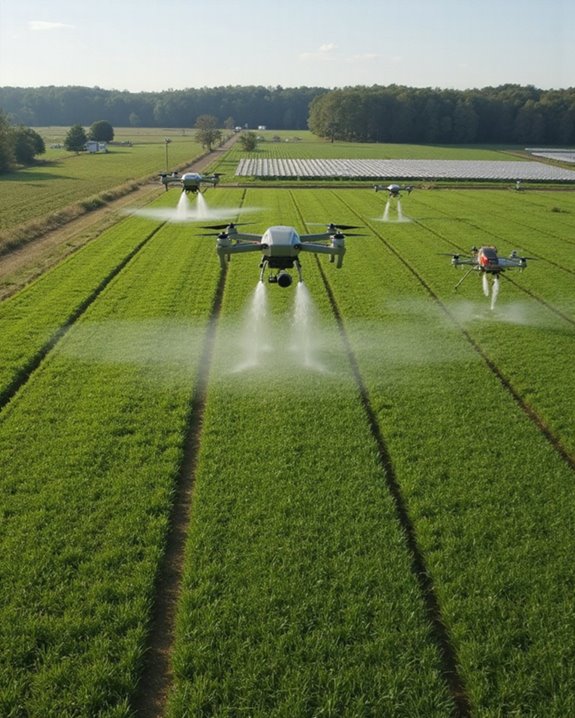
Targeted Crop Spraying and Variable Rate Application
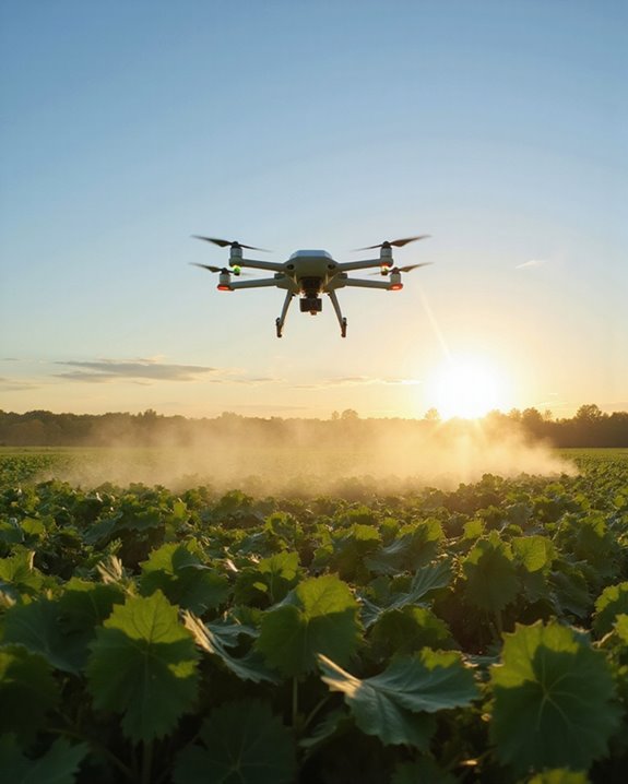
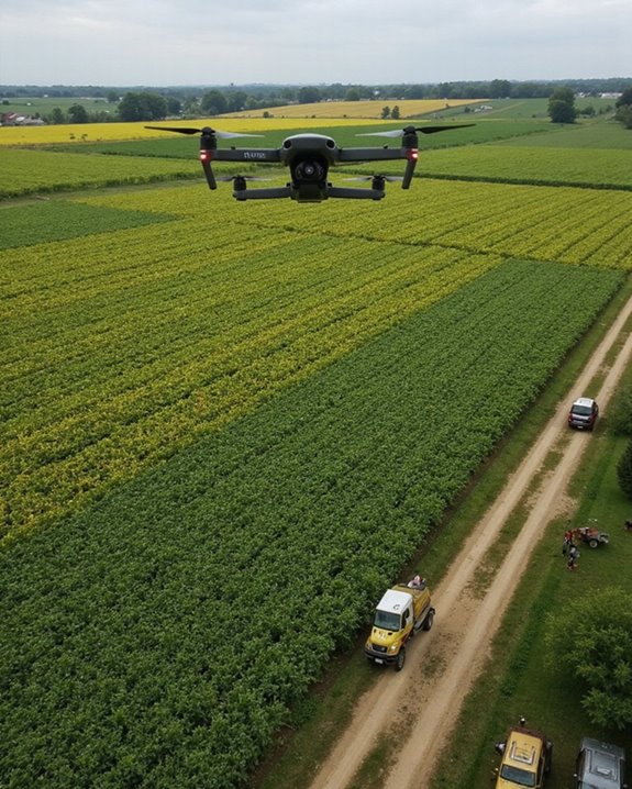
With all that high-tech mapping in hand, what’s a farmer to do next—draw a treasure map or pull out the sprayer? Thanks to drones, it’s the sprayer—armed with precise Spray Calibration and spot-on Application Timing! Drones fly over fields, targeting only the areas that need treatment, saving money and chemicals. No more wasted sprays drifting off or soaking farmworkers. Drones access tricky corners and odd-shaped plots, applying just the right amount of pesticide or fertilizer where crops need it most. Variable Rate Application lets drones adjust doses in real time, boosting yields and crop health. In China, over 175.5 million acres saw drone spraying in 2021! With drone technology and a bit of cleverness, farmers are reaching new heights in efficiency and sustainability.
Livestock Monitoring and Farm Surveillance

Farmers today have a secret weapon soaring just above their fields—drones! These high-tech helpers are changing how farms care for animals and keep property safe. With sharp-eyed cameras, drones count herds, spot stragglers, and even check if cows are feeling under the weather. If animals show odd behavior or health issues, drones help farmers react fast, boosting Animal Welfare and saving lives. Calving time? No need to tiptoe around—drones watch from above, giving early warnings if things go wrong. When it comes to Herding Techniques, drones gently guide cattle between pastures, reducing stress for both livestock and humans (and maybe saving a few muddy boots!). Plus, they patrol fences and water sources, catching trespassers or broken gates before trouble starts.
Water Conservation and Reduced Chemical Usage
Although it might sound like science fiction, drones are helping save water and cut back on chemicals in ways that would make any eco-enthusiast cheer. With their high-tech capabilities, drones map soil moisture, detect irrigation issues, and deliver real-time data, letting farmers fine-tune water use and enhance watershed management. Imagine knowing exactly which plants need a drink—talk about efficient! Drones also apply fertilizers, pesticides, and even biopesticide options only where needed, reducing chemical use by up to 25%. This targeted approach cuts waste, keeps waterways cleaner, and supports healthier crops. In drought-prone regions, drones help manage precious water supplies, leading to impressive yield improvements. With over 500 million hectares already benefiting, these flying farmhands are making a real difference!
Environmental Sustainability and Carbon Footprint Reduction
Ever wondered how a flying robot could help the planet? Agricultural drones are doing just that—cutting carbon emissions by a whopping 25.72 million metric tons, which is like planting 1.2 billion trees! By swapping out big, fuel-guzzling machines for drones, farmers are lowering their carbon footprint and boosting carbon sequestration. Drones can save up to 51.45 kg of CO2e per hectare, treating over 500 million hectares globally. That’s a major win for the environment and biodiversity impacts—because fewer emissions mean happier plants and animals. Digital solutions from companies like DJI Agriculture make farm management smarter and greener, with precise spraying and less waste. It’s not just about saving money; it’s about making the Earth a little more awesome—one drone at a time!
Training, Regulatory Policies, and Global Infrastructure for Drone Use
While drones are busy making farms greener and cleaner, there’s a whole lot going on behind the scenes to make sure these high-tech helpers actually get off the ground—literally and legally! Colleges across the U.S. are growing their drone training programs, teaching future pilots everything from basic flying to complex data analysis. Safety Regulations matter; you can’t just grab a controller and zoom over crops. The FAA says you need a Remote Pilot Certificate, which means passing the Part 107 test and knowing all the rules, like no flying over people or at night. Globally, Infrastructure Standards are evolving fast—especially with the agricultural drone market booming and regions like LAMEA investing in training. As drone tech spreads, solid infrastructure and skilled operators keep fields, and airspace, safe!
Frequently Asked Questions
What Are the Main Challenges Farmers Face When Adopting Drone Technology?
Farmers encounter cost barriers due to high initial investments, ongoing maintenance, and training expenses. Regulatory hurdles arise from complex and varying airspace laws, certification requirements, and compliance costs, while technical expertise and weather limitations add further operational challenges.
How Do Farmers Select the Right Drone Model for Their Needs?
Like choosing the perfect companion for a long journey, model evaluation and selection criteria guide farmers through flight time, sensor capabilities, durability, farm-specific needs, and cost, ensuring the chosen drone gracefully meets operational demands and environmental challenges.
Are There Privacy Concerns Related to Drone Use on Farms?
Privacy concerns arise from drone use due to data privacy risks and aerial surveillance capabilities. Farmers worry about unauthorized image or data capture, evolving privacy laws, and how collected information might be shared or accessed without consent.
What Is the Lifespan and Maintenance Schedule for Agricultural Drones?
Built with durable materials, designed for weather resistance, and dependent on regular maintenance frequency, agricultural drones typically last several years. Battery lifespan, component inspection, firmware updates, and thorough record-keeping all contribute to extending operational longevity and reliability.
Can Drones Operate in All Weather Conditions Commonly Experienced on Farms?
Drones are not designed for all weather conditions. Storm operations are generally avoided due to safety and performance issues. Humidity effects, strong winds, heavy rain, and extreme temperatures can limit drone functionality, despite advancements in weather-resistant technologies.